
Horry County ZIP Code Coverage
Horry County’s 2025 operational-areas map visibly labels sixteen ZIP codes. It is a county-level checklist, not a USPS boundary decision for a particular doorstep. The table keeps the map’s own community clues and leaves delivery confirmation to USPS. A community label may be a postal name, a municipality, an unincorporated area, or a mix of those things. Use the full street address before treating a map label as a location result.
| ZIP code | County-map community clue | Delivery check | Research note |
|---|---|---|---|
| 29511 | Aynor area | Confirm with USPS | County operational-map label |
| 29526 | Conway area | Confirm with USPS | Does not make every address municipal Conway |
| 29527 | Bucksport / south Conway-area routing | Confirm with USPS | Jurisdiction and parcel check needed |
| 29544 | Galivants Ferry / rural inland routing | Confirm with USPS | Rural route and community labels need checking |
| 29545 | Green Sea / Floyds area | Confirm with USPS | County operational-map label |
| 29566 | Little River area | Confirm with USPS | Exact address validation is important near the coast and state line |
| 29568 | Longs area | Confirm with USPS | County-map label |
| 29569 | Loris area | Confirm with USPS | City and county status remain separate questions |
| 29572 | Myrtle Beach / coastal area | Confirm with USPS | ZIP does not establish municipality |
| 29575 | Surfside Beach area | Confirm with USPS | Check municipal versus nearby county area |
| 29576 | Murrells Inlet / Garden City area | Confirm with USPS | Postal community label can cross jurisdictions |
| 29577 | Myrtle Beach area | Confirm with USPS | County operational-map label |
| 29579 | Carolina Forest / Myrtle Beach-area routing | Confirm with USPS | PIN or GIS check is needed for county/city relationship |
| 29581 | Nichols area | Confirm with USPS | Inland county-map label, not a beach-community label |
| 29582 | North Myrtle Beach area | Confirm with USPS | County operational-map label |
| 29588 | Socastee area | Confirm with USPS | Service and municipal status are address-specific |
The map’s associated text and search metadata refer to fifteen ZIPs even though sixteen labels are visible. That conflict should be preserved, not repaired by dropping a label or claiming a new ZIP. Verify a delivery address with the USPS ZIP Code Lookup and verify governmental jurisdiction through the appropriate county or municipal record.
County Map’s Horry ZIP Code Mismatch
The county’s operational-area map has a real precision problem: sixteen labels are visible, while its accompanying text or search metadata says fifteen. The record does not identify a one-label mistake, a deleted ZIP, or a postal change. Treating that discrepancy as a puzzle to solve would create a fact that the source does not support. The useful conclusion is narrower: the map can orient a countywide search, but USPS controls the delivery ZIP for a particular address.
The map also warns that it uses Census estimates and percentages where ZIP areas cross planning areas and is not a spatial-accuracy guarantee. Horry County spans inland communities, Conway, Myrtle Beach-area locations, and the coast. A county planning area, a postal route, a municipal limit, and a parcel are different geographic systems. The ZIP code directory therefore keeps them separate.
The operational map divides the county into five planning areas with stated 2023 populations ranging from 15,329 to 139,707. It places inland Green Sea, Loris, Longs, and Nichols on the same county reference as Conway, Socastee, Myrtle Beach, Surfside, Murrells Inlet, and North Myrtle Beach labels. That scale is a practical reason to retain the delivery ZIP, community label, and parcel identity together instead of treating one place name as a complete geographic answer.
Horry County ZIP Code Address Check
Start a ZIP-specific question by confirming the full delivery address through USPS, then preserve the street number, street name, community label, and ZIP exactly as returned. Horry County Planning and Zoning administers street naming and addressing for the Emergency 9-1-1 Program. E911 directs address questions to Planning’s 911 Addressing division at 843-915-5345. The county’s address-request form identifies Planning and Zoning at 1301 Second Avenue, Conway, and states a 3-5 business-day review.
The Horry County E911 address page identifies Planning and Zoning as the current addressing contact.
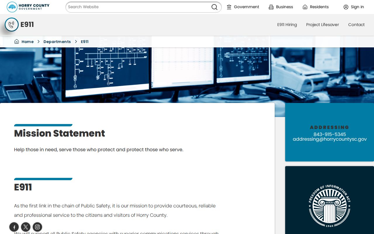
The E911 route can resolve current assignment questions. It does not prove that a historic street number, municipality, or ZIP was the same in an earlier record.
Horry County ZIP Code Search Limits
No verified Horry County property portal offers a ZIP-wide resident or parcel search. The Tax Payer Services screen exposes Name or PIN, and the Assessor documents an owner-or-address-to-PIN pathway rather than a ZIP filter. GIS and Land Records could have additional capabilities after sign-in, but the account-gated interface was not inspected. Do not turn that unknown into a claimed ZIP search feature.
| Official tool | Verified field or route | What it can do | ZIP limitation |
|---|---|---|---|
| Tax Payer Services | Name or PIN | Starts a tax-service property path | No verified ZIP field |
| Assessor / Land Records | Owner or address to PIN | Locates the current property identifier | Address-bearing access requires a free county account from March 16, 2026 |
| County GIS | Account-gated parcel access | Tax-parcel context | No inspected ZIP filter or result mode |
| South Carolina Court Roster Search | County, city, or ZIP Code | Finds court rosters and schedules | Not a resident or parcel search |
The South Carolina Court Roster Search is the verified ZIP-capable public field set, but its result type is a court roster rather than a household list.
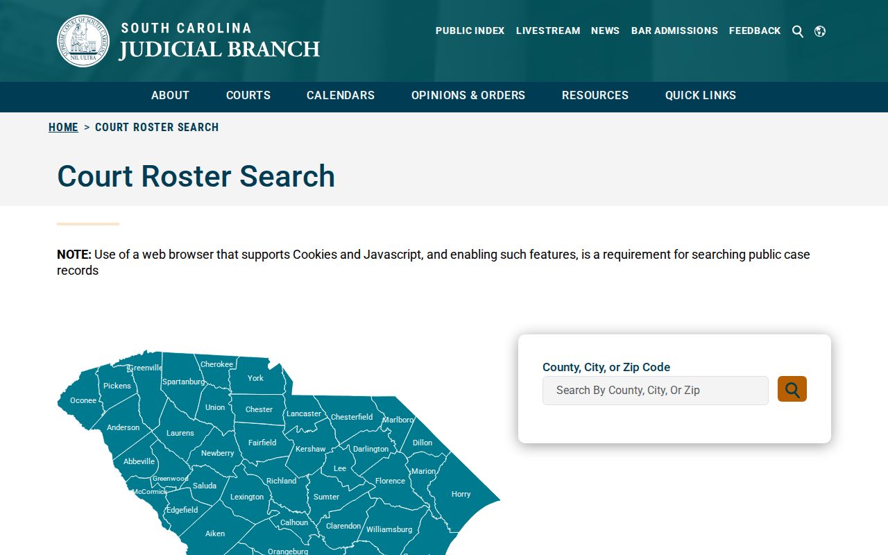
The screen supports a ZIP filter for scheduled court matters. It should not be used or described as a way to identify residents at addresses in that ZIP.
Horry County ZIP Code Workflow
Finding a Horry County address within one ZIP is a sequence of specific checks, not a ZIP-wide name list. USPS supplies the delivery label. E911 or Planning can answer a current addressing question. Then the county property route connects the confirmed address to a PIN, subject to the county’s free-account access rule and counter alternatives. A registered voter’s individual information has its own authenticated route, while broader state voter files have statutory eligibility and use limits.
- Use USPS to check the exact street address and delivery ZIP.
- For an unclear current address, contact E911/Planning rather than guessing from a county-map boundary.
- Use the address or owner route to locate the parcel PIN through Horry’s Assessor and Land Records process.
- Keep the situs address, mailing address, PIN, and legal description in the research notes as separate fields.
- Use a record type that actually answers the question, such as a deed for recorded property parties or an authenticated voter route for individual voter information.
Once a ZIP has narrowed the location to a street, the Horry County by-street directory has the address-keyed property workflow. It should not be replaced with a ZIP-wide claim that the county has not verified.
Horry County ZIP Code PINs
A PIN, also called a TMS in county research, is the property identifier that makes a ZIP-based address check useful for land records. The Assessor says it maintains ownership information and directs a user to Land Records to find a PIN by owner name or address. Capture the PIN, the displayed situs address, and the owner spelling. The Register of Deeds copy-request form can also use a book and page, TMS/PIN, property address, or legal-description clues such as lot, subdivision, acreage, or township.
The March 2026 access change requires a free county login for GIS, Land Records, Tax, and Assessor services that display property addresses. The live portal is not the only route. For a documented need, use the relevant office counter or phone, and use the Register of Deeds’ copy process for recorded documents. Deeds are not a county Freedom of Information Act substitute, and a parcel owner or mailing contact is not automatically a current resident.
Note: County GIS parcel fabric is for tax purposes, not a survey; recorded plats, deeds, and a licensed survey answer different boundary questions.
Horry County ZIP Code Boundaries
ZIP boundaries do not track Horry County city limits, parcel lines, precincts, or planning areas. For example, 29526 is a Conway-area postal label, but county records being held in Conway does not mean every 29526 address lies in municipal Conway. The same care applies to coastal, inland, and unincorporated communities. A valid ZIP tells a researcher where mail is routed. It does not settle which government issues a permit, holds a municipal record, or serves a particular property.
Boundary check. Use USPS for delivery, the relevant county or municipal office for jurisdiction, and the parcel record or legal description for property identity. A postal label alone cannot answer all three questions.
For a property question, the physical situs address should be compared with the owner mailing address and legal description. Those fields serve different purposes and may not match. They are especially important in a county where beach-area mailing labels, city names, and county records can point in different directions.
Horry County ZIP Code Terms
These terms help keep a postal check from being overread. None establishes who occupies a property, and none replaces a PIN or legal description in the county records process.
- ZIP code
- A Postal Service routing code for an address or delivery area, not a local-government boundary.
- ZIP+4
- The additional four digits USPS may use to identify a more precise delivery segment within a ZIP code.
- Carrier route
- A delivery-route grouping used by the Postal Service; it is not a public household roster.
- PO Box or unique ZIP
- A ZIP arrangement that may serve boxes or a specific delivery purpose. No such arrangement is asserted here for a Horry County label without USPS confirmation.
- Situs address
- The physical property address used in tax and GIS work, which can differ from an owner’s mailing address.