
Horry County Neighbor Record Sources
A block search has to keep several meanings separate. The County GIS map can show tax parcels in spatial context. The Assessor and Register of Deeds can identify recorded parcel owners and property instruments one parcel at a time. Planning and Zoning can help define development or addressing jurisdiction. Voter and community resources have narrower access rules. None of those sources creates a complete list of the people who live around an address, and a recorded owner may not be the person occupying a parcel.
| Block source | What it can show about nearby parcels | Horry County access limit |
|---|---|---|
| County GIS | Tax-parcel placement and visibly adjacent parcels | Address-bearing content needs a free county account; it is not a survey. |
| Assessor and Land Records | Owner-maintenance route and parcel PIN | Owner is not a complete household roster. |
| Register of Deeds | Recorded parties, plats, deeds, and legal descriptions | Instrument parties are not proof of present occupancy. |
| Planning and Zoning | Subdivision, development, addressing, and jurisdiction context | First determine county versus municipal responsibility. |
| Voter records | Authenticated personal information or a regulated file process | No public anonymous by-street browse is supported. |
| HOA covenants and local history resources | Recorded association name or historic civic context | No official countywide membership directory was found. |
For Horry County neighbors, use a parcel map to understand the block, then read the individual record for the parcel that matters. A parcel line can be useful map context. It does not establish a surveyed boundary, a personal relationship, or a claim about every household member.
Horry County GIS Neighbor Map
The Horry County GIS application describes its parcel fabric as a tax-mapping resource, not a survey. That warning matters on a block where a line on a web map may be close to, but is not itself, the controlling boundary evidence. Use a recorded plat or deed for a legal description and seek a licensed survey when the question is a boundary or right-of-way. The map is still a useful first step for locating the known parcel and seeing surrounding tax-parcel shapes.
The current research did not verify a buffer, radius, adjacent-parcel button, layer list, measurement control, or neighbor label in the authenticated viewer. Do not rely on an unverified feature name. A plain visual inspection of immediately adjoining tax parcels is the supported method. The County’s free-account rule applies to GIS, Land Records, Tax, and Assessor services that display property addresses.
Review the County GIS disclaimer and entry page before using map output as parcel context.
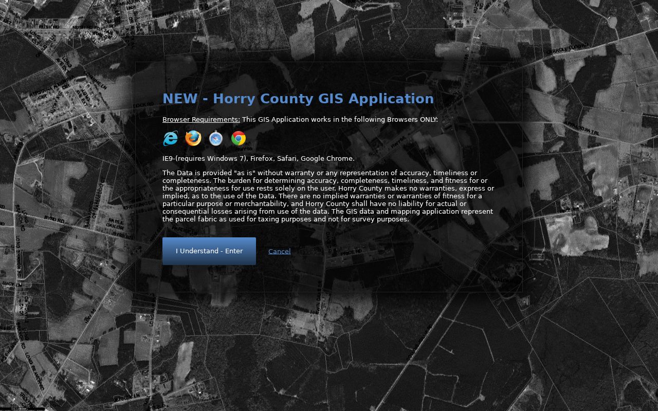
The displayed warning is why a Horry County neighbors search should keep map context separate from a survey, deed, or personal-residence conclusion.
Map Horry County Neighbor Parcels
The supported block method is map to parcel to recorded document. It starts from one known address and remains parcel-specific as it moves outward. A free county account may be necessary before the address-bearing viewer exposes enough detail. Preserve only the parcel clues shown by the record, such as PIN, TMS, situs address, owner spelling, and legal description. Treat a displayed owner mailing address as an owner-contact field, not as evidence that the owner lives at the parcel.
County geography makes that restraint important. Horry includes incorporated municipalities, beach communities, and extensive unincorporated territory. A postal community label can differ from governmental jurisdiction, and a ZIP is not a parcel boundary or a city-limit determination. Confirm the address with the county parcel tools and the correct local office before treating a planning, association, or development contact as the contact for the block.
- Register for the required county access or contact the Assessor for help obtaining the PIN tied to the known address.
- Locate the starting parcel in GIS and inspect only visibly adjacent tax parcels for map context.
- Open the separate property record where access permits and note each parcel’s PIN, owner name, and legal-description clues.
- Use the owner, PIN, lot, subdivision, or book and page in the Register of Deeds to locate the relevant recorded instrument.
- Stop when the records no longer support the fact sought. For a whole named street, use the fuller Horry County street directory record chain.
The Horry County GIS parcel sign-in shows the account gate used for address-bearing parcel access.
The sign-in screen supports the practical fallback: use the county counter or phone route when an account-based map search is unavailable.
Horry County Neighbor Parcel Records
The Assessor lists and appraises real property and maintains ownership information. If a PIN is unknown, its guidance points to Land Records by address or owner name. The Tax Payer Services entry shows a Name or PIN field. Once a useful property identifier is available, the Register of Deeds copy and index route accepts practical clues including book or page, PIN or TMS, property address, and a brief legal description such as lot, subdivision, acreage, or township.
AcclaimWeb’s county guidance says a name should be searched in last-name-first-name order without punctuation. The copy form says results under a name begin in 1984, so older property links need the ROD counter or historical index path. Recorded mortgages, liens, easements, plats, and HOA restrictions can explain why a name appears, but they are not resident lists. A legal-residence assessment category is also not a substitute for confirming household identity.
Use the Horry County Land Records login for the county’s current access condition.
The free-login requirement means the valid local alternatives remain the Assessor, the ROD counter, a phone call, or a narrow records request.
Horry County Neighbor Voter Limits
MyscVOTES is an authenticated individual-information route, not a public block roster. It requires a county selection, first and last name, date of birth, and the last four digits of the Social Security number as shown on a voter-registration card. Horry Voters Registration and Elections can handle registration and precinct questions, but a precinct map is election geography, not proof of who occupies each parcel.
South Carolina allows registered voters to purchase certain voter-registration lists under S.C. Code §7-3-20(D)(13), with documented county, district, and household-related production criteria. That separate statutory process does not make an anonymous block view available. Participation history reflects elections, not votes or ballot choices. S.C. Code §30-2-50 restricts commercial solicitation using public records, and protected-address records require special care.
Horry County Community Directory Limits
No official countywide neighborhood-association directory, HOA membership directory, or verified umbrella roster was located in the research. That absence is important. A recorded HOA covenant or amendment in the ROD may identify an association name or registered agent, but it does not create a list of residents. For a particular subdivision, use the recorded instrument, then ask the correct city or county Planning office whether it publicly lists a neighborhood contact.
| Horry County Historical Society | Historical newspapers, oral histories, photographs, genealogies, and county-history context, not a neighbor roster. |
|---|---|
| Horry County Memorial Library | County branches, heritage programming, and research resources that may supply historic local context. |
| Planning and Zoning | Neighborhood stabilization, historic-preservation, development, and jurisdiction context; ask for a public contact if one exists. |
| Recorded HOA documents | An association or registered-agent reference in a covenant, not membership, household, or contact-list proof. |
The Horry County Archives Center at Coastal Carolina University and the Historical Society can help with block history through photographs, oral histories, maps, and newspapers. HCAC’s Horry County Oral History Project has more than 100 interviews from 1964–2006 in video, audio, or text. Those sources add civic or historical context and can help interpret a place name or building pattern. They are not a present-neighbor directory or legal proof that a person lived at a particular parcel.
Horry County Neighbor Source Comparison
Official records and commercial neighbor-finding products are different categories. The official chain identifies the custodian, source date, and limits of a parcel, deed, or court record. Compiled commercial products may be incomplete, stale, or unable to explain where a match came from. Neither category turns a nearby parcel into evidence of a person’s current residence or personal connection to the block.
| Source category | Strength for a block question | Limit to keep in view |
|---|---|---|
| Official parcel and deed records | Custodian-controlled details about a specific parcel or instrument | Recorded owner or party is not every occupant. |
| County GIS | Spatial tax-parcel context around a known address | Not a survey and no unverified neighbor tool should be assumed. |
| Commercial compiled category | May offer a lead to independently check | Can be stale, incomplete, or unclear about provenance. |
When a public record is incorrect, contact the custodian that created it. The Assessor handles ownership listing questions, the ROD handles recording and index questions, and the election office handles registration records. A publisher cannot change the government source.
Horry County Neighbor Privacy Limits
Horry County neighbors cannot be identified from a parcel map alone. Utility accounts, delivery information, restricted motor-vehicle data, sealed and juvenile court materials, protected voter records, and nonpublic household-member information are outside a block lookup. South Carolina’s Address Confidentiality Program gives eligible participants a substitute address for dealings with state and local agencies and courts. Never try to infer a protected location from an omission or an alternate address.
South Carolina rules also protect sensitive identifiers in recorded and court materials. A person, attorney, agent, or guardian can request online redaction of specified sensitive information from an ROD or Clerk image without changing the official original. That redaction route is a privacy protection, not a reason to copy information from an older display. The lawful result of a neighbor search may be a parcel fact and nothing more.
Lawful use. Use Horry County neighbor records for lawful personal, civic, property, or historical research. Do not use a block search to stalk, harass, threaten, watch, or expose any person.