
Horry County Previous Resident Sources
Past residents are documented by different sources in different eras. The current Assessor and GIS record supplies a bridge from an address to the present PIN, owner spelling, and situs address. The Register of Deeds can connect that bridge to a recorded transfer. At the household level, a city or reverse directory, released federal census, obituary, or historic notice can be useful when a local volume or collection actually exists. Treat each source as evidence of its own date, not as a complete occupancy history.
| Historical source | Horry County era marker | Where to ask | Contribution to an address trail |
|---|---|---|---|
| ROD online name results | Since 1984 | AcclaimWeb | Recorded documents under the queried name. |
| Conveyance records | 1803–1977, bulk 1803–1928 | ROD counter and archival channels | Earlier grantor and grantee work using legal descriptions. |
| Assessor and GIS | Current-use bridge | Assessor or county counter | PIN, current owner, address, and parcel context. |
| City or reverse directories | Exact Horry runs require confirmation | Thompson Heritage and HCML | Address-to-household snapshots when a volume exists. |
| Federal census | Released after 72 years | National Archives and library resources | Household composition and enumeration geography. |
| Sanborn maps | Conway 1930 and 1938; Myrtle Beach 1938–1949 | Library of Congress map sets | Building and street-label context, not person identity. |
Begin with the era closest to the known address. A recent transfer belongs with the Assessor and ROD. A much older property needs its legal description, book and page, lot, subdivision, acreage, or plat reference preserved before the current street label is used. A library or archive can then confirm whether a directory, newspaper, or census channel exists for the period.
Horry County PINs Before Names
The most dependable starting point for Horry County previous residents is the current property identifier. The Assessor says it maintains real-property ownership information and directs a user without a PIN to Land Records, using an address or owner name. Save the PIN or TMS, current situs address, owner spelling, and legal description. A situs is the physical property address. A mailing address is an owner-contact field and may be elsewhere. The legal description, such as lot, subdivision, acreage, or plat and book reference, is the durable land key.
Since March 16, 2026, the county has required a free login for GIS, Land Records, Tax, and Assessor services displaying property addresses. Register if the live display is needed. If that access does not work, ask the Assessor or Register of Deeds counter for the right channel and bring the address, PIN, legal description, and any book or page clue. County GIS is tax-parcel mapping, not a survey. A recorded plat, deed, and where needed a licensed survey control boundary questions.
Horry County Previous Resident Deed Trail
A deed trail identifies recorded parties to transfers. It does not automatically identify every person who lived at the address. Start with the present owner and the latest recorded deed, then read the instrument’s legal description and recording reference. The earlier seller or grantee becomes the next search name. Preserve the dated book and page at every link, because the address may change while the legal description remains the safer bridge.
- Use the Assessor route to capture the current PIN, owner spelling, situs address, and legal description.
- Search the latest owner or parties in AcclaimWeb, using last name first and no punctuation as the county copy form directs.
- Open the relevant transfer and record its grantor, grantee, recording date, book or page, and legal-description clues.
- Search the earlier party and repeat the same process backward, checking each instrument rather than assuming one name reflects occupancy.
- When the online name route ends, take the accumulated legal description and book or page to the ROD counter or archival index path.
- Grantor
- The party transferring an interest in a recorded instrument.
- Grantee
- The party receiving that recorded interest.
- Chain of title
- The documented succession of property interests traced through instruments.
- Legal description
- The land identifier in a deed or plat that can outlast a changed street or ZIP label.
Horry County’s 1984 Index Boundary
The Register of Deeds copy-request instructions say AcclaimWeb name results show documents under a name since 1984. That is a documented online-name-index boundary, not the beginning of Horry County ownership history. The form accepts a name on document, document type, book or page, Tax Map Number or PIN, property address, and a brief property description. It also explains how to request copies by mail or from the counter after a document is identified.
For older work, call or visit the ROD with the name, current or historic property clues, lot or subdivision, legal description, and book or page. The ROD keeps deeds, mortgages, and plats and can direct a researcher to the historical book or index channel. The posted copy form lists $8 for the first four pages of a normal document and $1 per additional page, with a $2 certification charge. Verify the current fee before payment.
The Horry County Register of Deeds provides the public counter and records-office route.
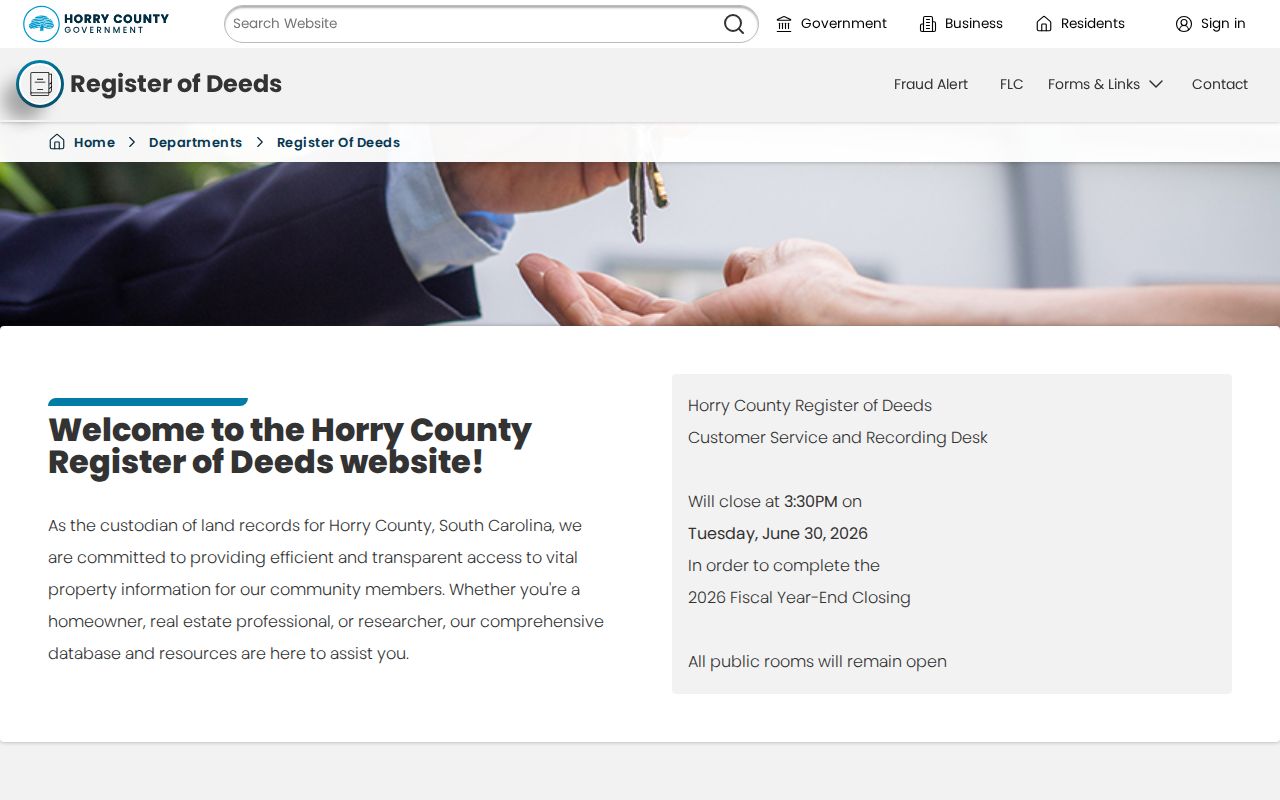
The office route matters when a previous-resident search must move past the online name index into historical books or copy assistance.
Horry County Past Household Trail
Past residents need household evidence in addition to the deed chain. Horry’s publicly reviewed library pages do not provide an exact online shelf list of Conway or Myrtle Beach directory publishers and years. Ask staff at the Thompson Heritage and Research Library or HCML for a city directory, reverse directory, criss-cross volume, telephone book, historic street name, publisher, and nearby years. A reverse or criss-cross directory, when available, reverses the usual route from address to name.
- Keep the directory’s exact spelling, city label, year, page, and address.
- Ask whether a reverse or criss-cross volume has the same address or block.
- Compare nearby directory years for a move, a widow notation, or a change in household listing.
- Pair the result with the closest released federal census, then check the enumeration geography against the property clues.
- Use probate, obituary, cemetery, or recorded-deed evidence to test an apparent endpoint without converting a directory entry into proof.
HCML advertises FamilySearch and HeritageQuest resources, while its Ancestry access is inside the library only. The dedicated Thompson Heritage and Research Library opened in 2025 at 1008 5th Avenue in Conway and lists 843-915-5222, Monday through Friday, 10 a.m. to 4 p.m. The directory collections themselves are described more fully on the Horry County city directories page.
Visit HCML Local History for the documented genealogy and archive connections.
Library and archive access is the practical fallback when no verified countywide online run can place a past household at an address.
Horry County’s 1865 Records Gap
Horry County history changes how far a previous-resident trail can be taken. The SCDAH county records summary says federal troops rifled and vandalized courthouse offices in 1865, with many loose papers and clerk volumes lost, including early deeds through 1828. Equity files were nearly wiped out, and later pre-1887 General Sessions indictments were also lost. An apparent break in an early property, probate, or court trail may be a loss in the surviving record, not proof that a family or parcel had no earlier history.
There are useful surviving or reconstructed series. SCDAH lists Commissioner of Locations plats for 1802–1879, conveyance books for 1803–1977 with most from 1803–1928, probate estate papers for 1803–1931, will books for 1819–1907, RMC plats for 1913–1982, and Treasurer tax duplicates for 1876–1960. Confirm actual access and image availability with the ROD, HCAC, or SCDAH rather than assuming each series is online.
Place names also need an era check. Local historical-marker material says Kingston became Conwayborough in 1801 and Conway in 1883. Search a historical notice, map, or catalog under the form used at the time. That spelling check can recover a record lead, but it does not replace the parcel, legal-description, or family evidence needed to connect it to a particular address.
Horry County Address Context Tools
Maps can solve a place question without proving a resident question. The Library of Congress has Conway Sanborn sheets from June 1930 and July 1938, while Myrtle Beach sheets run from July 1938 to April 1949. They can show building footprint, use, and street-label context. Horry Planning and E911 can answer current street-naming or address-assignment questions, but research did not confirm a countywide historic renumbering event. Use PINs, lots, plats, legal descriptions, and historic maps to bridge an address change.
The ROD also offers a free Recording Notification Service. It emails a notice when a newly recorded deed transfer or mortgage lien matches the deeded name entered by a subscriber. That is an early warning to inspect the official instrument, not a substitute for a deed review or an ownership decision.
See the Horry County Recording Notification Service for its stated alert process.
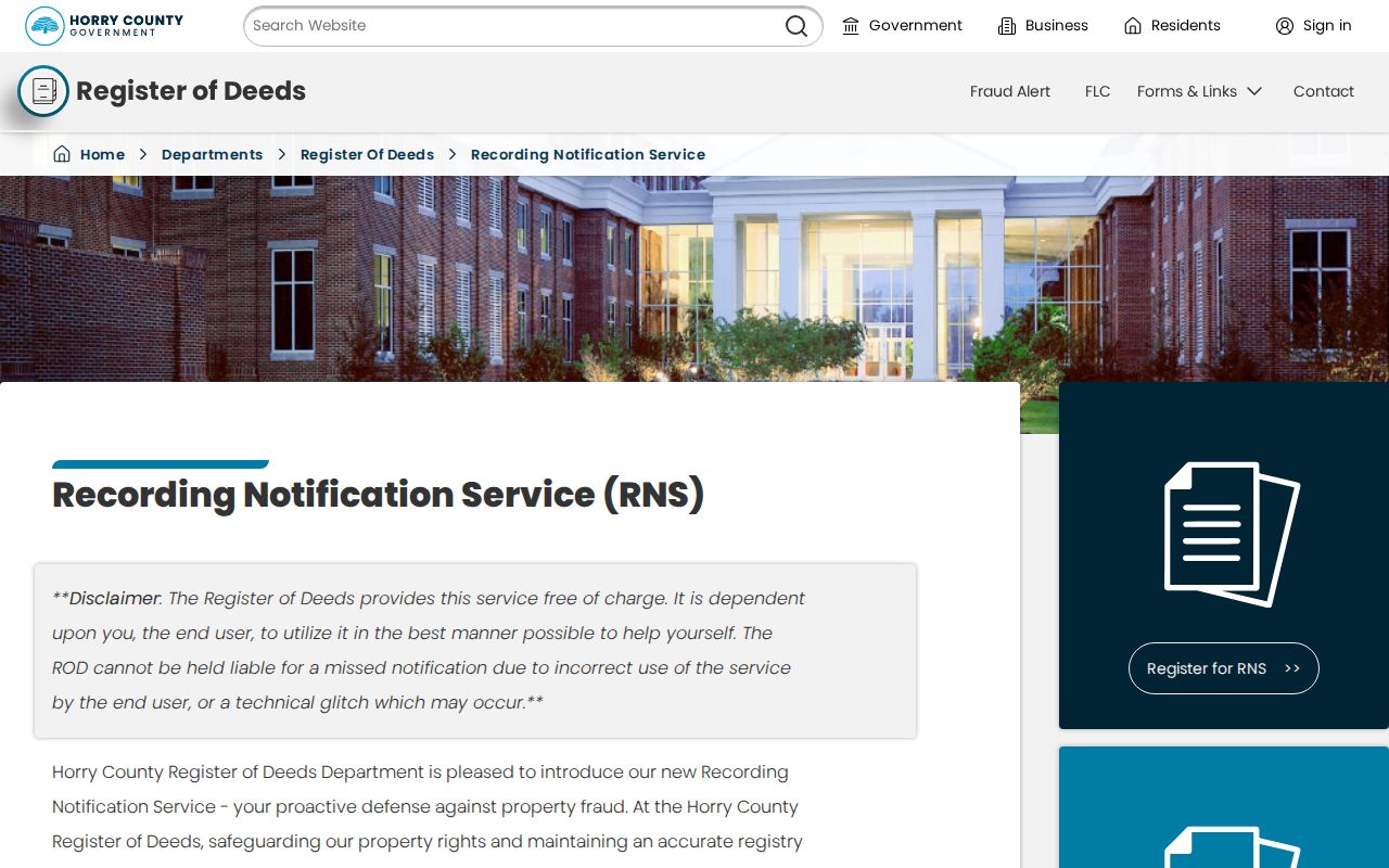
An alert can prompt a timely check of a recorded instrument, while the deed chain remains the evidence for the historical address trail.
Horry County Previous Resident Limits
Previous-resident research is a house-history and family-history task, not a way to identify every person associated with an address. A deed party can be an owner, lender, trustee, or other recorded party. A directory can omit rural routes, an adult household member, or a requested year. A historic map is not a resident list. South Carolina’s Address Confidentiality Program and other protections mean protected locations should never be inferred from missing, partial, or alternate data.
Use original records to confirm consequential findings. For a person who died, compare Probate, obituary, cemetery, and an eligible vital-record channel. For a documentation error, contact the record custodian. Preserve the source URL, record identifier, retrieval date, and the narrow fact each item supports.
Lawful use. Research Horry County previous residents for lawful house history, family history, or personal curiosity. Do not use a historic address trail to harass, watch, threaten, or expose a living person.