
Horry County Street Directory Starting Steps
Street-by-street research in Horry County begins with a parcel, not with an assumed list of everyone on the road. The Assessor maintains ownership information and can direct an address or owner-name search to a PIN. The PIN, situs address, and legal description then lead to map context and recorded documents. That sequence establishes an owner and a property trail. It does not establish all private occupants at the address.
- Enter the exact address in the Assessor or Land Records route, or ask the Assessor for the PIN if the online address display is unavailable.
- Save the situs address, PIN or TMS, owner spelling, and legal description exactly as shown by the county.
- Use the logged-in GIS map for parcel, road, and layer context, while reserving a plat, deed, or survey for a legal boundary question.
- Take the owner, PIN, address, lot, subdivision, book and page, or legal description to the Register of Deeds for the recorded chain.
- For a historical household clue, ask HCML for a verified reverse or criss-cross directory volume, then confirm it with a dated independent record.
Note: A current mailing address is an owner-contact field and is not evidence that a person occupies the situs property.
Horry County Street Directory PIN Path
The Assessor is the county address-record starting point for a property search. It states that owner name or address can locate a PIN, and the Tax Payer Services screen exposes a Name or PIN entry. The useful result is not just a name. Preserve the PIN or TMS, current owner, situs address, lot or parcel type, deed book and page, and legal description. Those identifiers help distinguish the physical parcel from an owner’s correspondence address.
| Assessor or GIS field | Field type | Required | Verified notes |
|---|---|---|---|
| Name or PIN | Text | One useful identifier | Visible Tax Payer Services entry |
| Owner name | Land-record criterion | No | Assessor says it can locate a PIN |
| Address | Land-record criterion | No | Assessor says it can locate a PIN |
| GIS Address | Text with candidates | One search clue | Address candidates are offered |
| GIS Owner | Text | One search clue | Each entered word is matched in owner name |
| GIS PIN or TMS | Text | One search clue | Begins-with matching is documented |
Start with the Horry County Assessor, which explains its ownership-maintenance role and the address-or-owner PIN route.
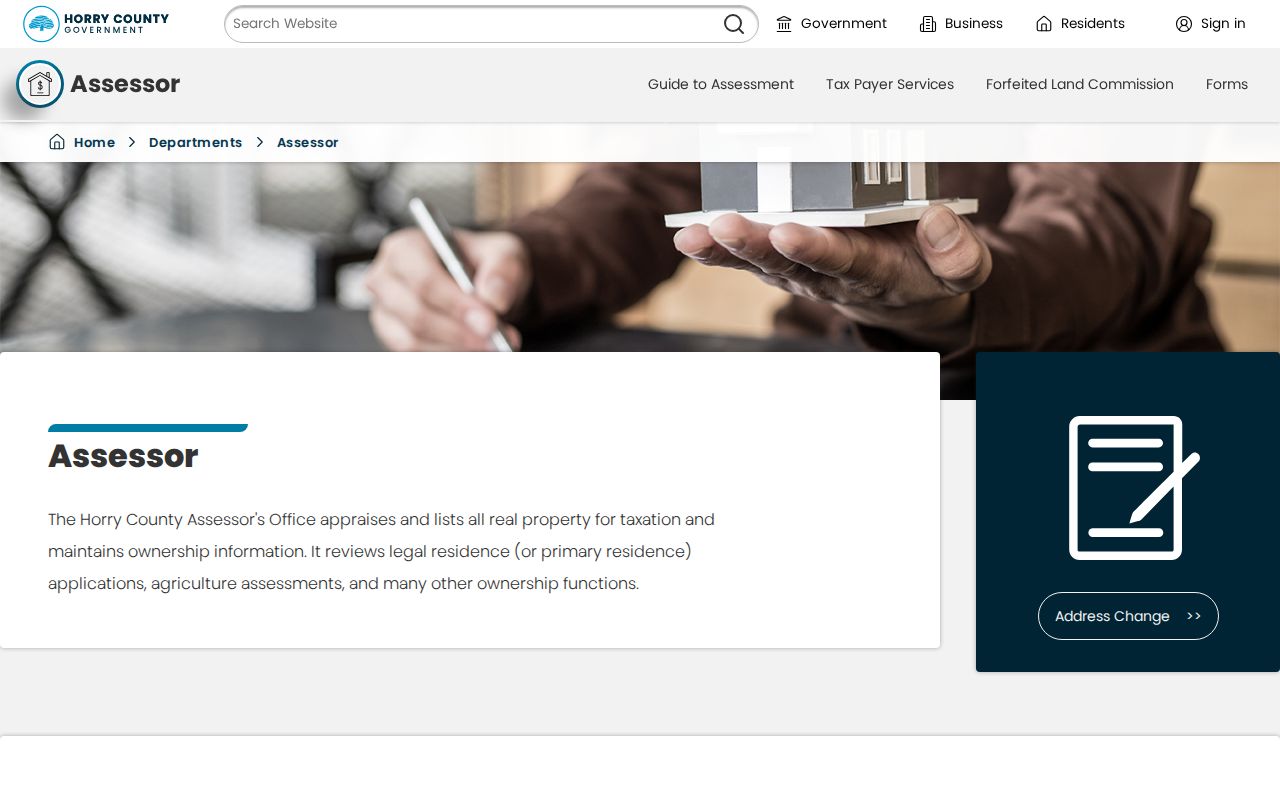
The Assessor route makes a parcel identifier available for the next address-record step, but an assessment listing is not a complete household record.
Since March 16, 2026, address-bearing County GIS, Land Records, Tax, and Assessor displays require a free county account. The login screen includes registration and recovery controls. When access is not available, call the Assessor at 843-915-5040 or use the county counter rather than assuming an anonymous street search remains available.
Open the Horry County Land Records login to see the county account route.
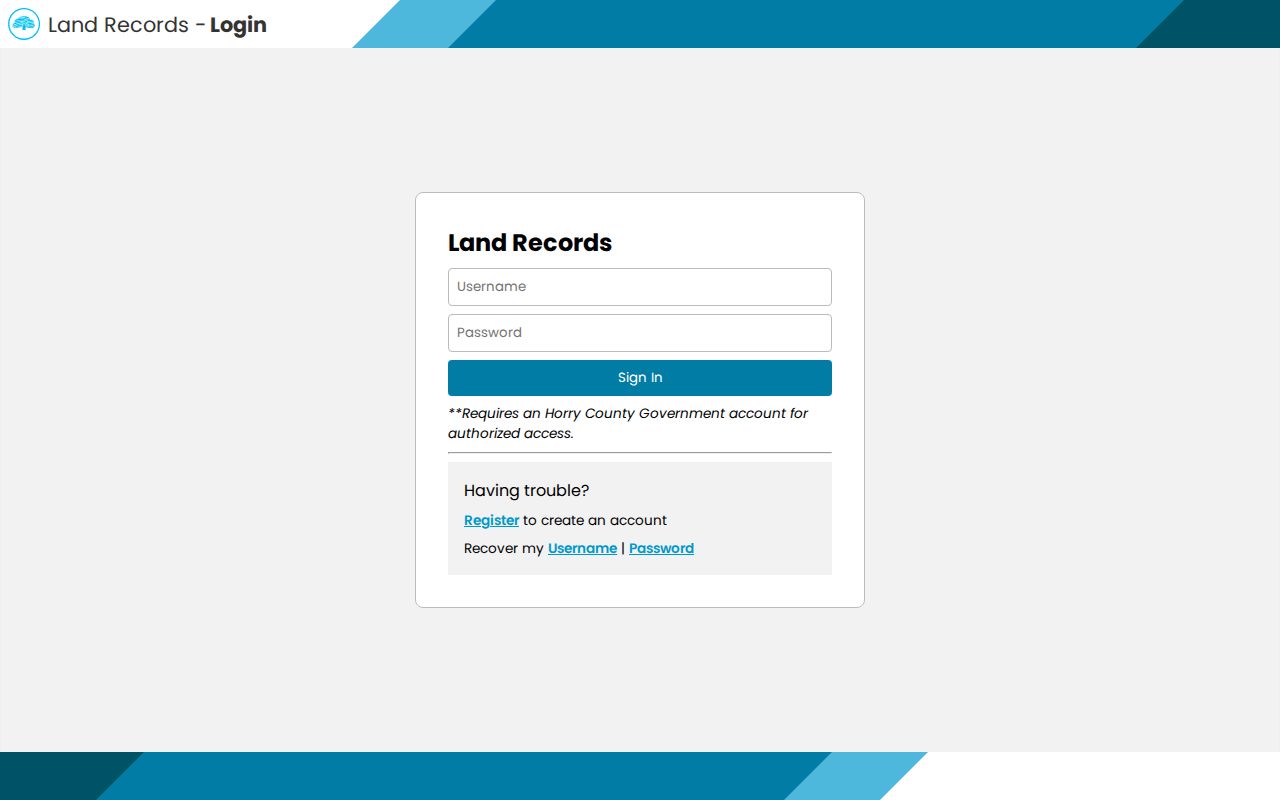
The free-account change affects address displays, while the ROD, Planning, library, and counter channels remain separate ways to pursue a specific records question.
Horry County Street Directory GIS Context
Horry County GIS provides spatial context for a by-address search: parcel relationships, roads, layers, zoning information, and map location after the county access step. It is a tax-parcel fabric. The county’s own disclaimer says it is used for taxing purposes and is not a survey. A highlighted line, parcel outline, or aerial layer is therefore not the record to use when a legal boundary, lot line, or exact land description matters.
See the Horry County GIS application and its tax-parcel disclaimer before relying on map context.
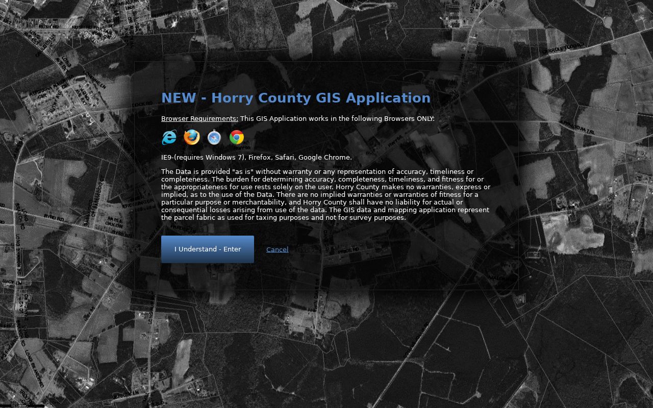
A recorded plat or deed answers the land-description question that a county parcel map does not answer.
The parcel viewer’s current address content is also behind the county account requirement. It supports a spatial review of the selected parcel, but no automatic adjacent-parcel control was verified. Treat the map as an aid for locating the next parcel record, not as a shortcut to a roster.
The GIS parcel sign-in shows the registration gate for the address-bearing viewer.
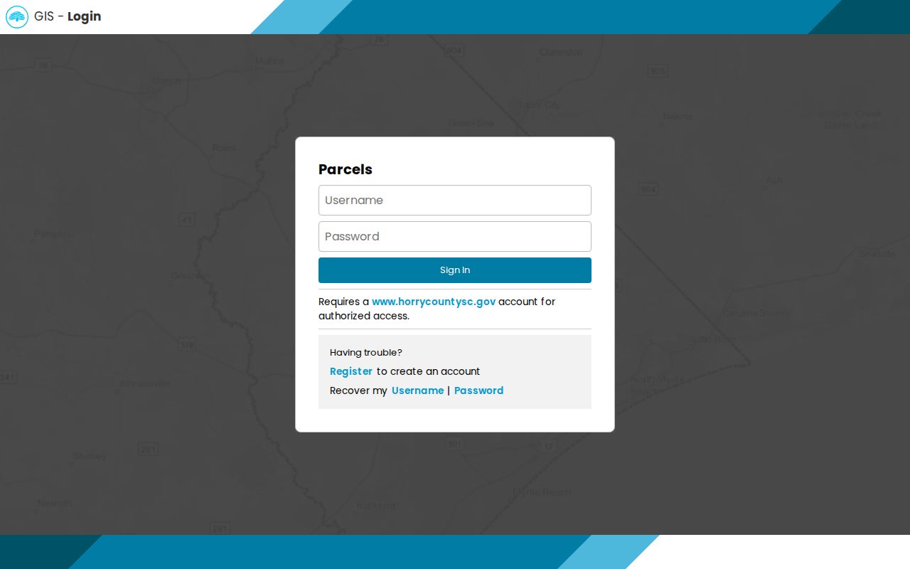
The account gate is why a county address workflow should retain a counter, phone, and documented-record fallback.
Horry County Deed Chain by Street
The Register of Deeds connects a Horry County address trail to recorded deeds, mortgages, plats, liens, easements, and related instruments. AcclaimWeb offers public guest access after its disclaimer. The county copy-request form gives the exact person-name format: last name, first name, with no punctuation. It also says the name search returns documents under that name since 1984. Search a current owner or earlier party, then use the book and page, legal description, and prior parties to move through a deed chain.
For work before the documented online name-index reach, call or visit the ROD with the best available locator. The counter or mail request can use a property address, PIN or TMS, book and page, lot, subdivision, acreage, township, or other brief property description. Do not rely on a current street string alone when an older deed gives a better legal description.
Use the Horry County Register of Deeds for counter and copy-service information.
The ROD is the recorded-document stop in the address trail, not a database of every person associated with a road.
Horry County Street Directory Address Records
Several address-keyed sources can contribute to a by-address search, but each has a different custody and limit. The parcel trail identifies a current tax listing and map context. The ROD identifies recorded parties and land descriptions. Planning and E911 answer current assignment and development-jurisdiction questions. A reverse directory, if HCML confirms one for the needed era, supplies an historical address-to-occupant clue rather than a present-day result.
| Horry County address source | Search or browse path | What it can show | Access limit |
|---|---|---|---|
| Assessor / Land Records | Owner or address to PIN | Ownership listing and parcel identifier | Free account for address displays |
| Tax Payer Services | Name or PIN | Tax-service entry route | Not a historic address directory |
| GIS | Map browse after county access | Tax-parcel relationship and map context | Not a survey or occupancy proof |
| Register of Deeds | Party, book/page, PIN, address, or legal description | Recorded parties, deeds, and plats | Not a list of all private occupants |
| Planning / E911 | Address or street-name contact | Current addressing and county development jurisdiction | Does not reconstruct every historic address |
| HCML heritage resources | Request a reverse or criss-cross volume | Historic address-to-occupant clues | No verified countywide online run |
Note: Preserve the PIN and legal description when the parcel record crosses a municipal, ZIP, or street-label boundary.
Horry County Street Addressing Office
Horry County Planning and Zoning administers street naming and addressing for the Emergency 9-1-1 program. E911 directs address questions to Planning’s 911 Addressing division at 843-915-5345. This is the correct county contact for a current assignment or road-name question, particularly in unincorporated areas. It is not a basis for saying an earlier address carried the same street name, number, ZIP, or municipal label.
Current rules assign one address number per 20 feet of frontage and put even numbers on the right when facing increasing numbers. Addresses follow recorded plats or approved site plans, and multi-unit or mobile-home sites have special rules. The address-request form identifies Planning and Zoning at 1301 Second Avenue, Conway, and states a three-to-five-business-day review. Those rules describe the current process, not a verified historic-renumbering event.
The Horry County E911 page identifies the addressing contact and county role.
For a historic address question, pair current addressing help with the parcel’s lot, subdivision, plat, deed, map, and library evidence.
Horry County Street Permit Boundaries
A permit, zoning, code, or inspection record can be keyed to a project address, but the issuing jurisdiction must be identified first. Horry County handles substantial unincorporated territory, while Conway, Myrtle Beach, North Myrtle Beach, Surfside Beach, Atlantic Beach, Aynor, Loris, and other places can keep their own planning or permitting records. County Planning and Zoning links separately to several municipal planning departments for that reason.
For unincorporated county work, Code Enforcement handles building permits and inspections for specified construction and improvement work. The EnerGov portal exposes account, address, invoice, business, saved-work, and contact-manager functions, including online inspection scheduling for listed residential work. No anonymous permit-result search was verified, so a project address should be taken to the issuing county or municipal counter instead of being described as an open street lookup.
Horry County Street Directory Voter Boundary
Voter information cannot supply an open street roster. MyscVOTES is an authenticated personal tool. It requires Horry County, first and last name, date of birth, and the last four digits of a Social Security number as shown on the voter-registration card. The county election office and interactive precinct map can help identify the right registration or precinct channel, but a voter record is not evidence of every person associated with a parcel.
State voter-registration lists are governed by eligibility and use rules. A registered South Carolina voter may purchase a list under the statute and SC Votes procedures, with available county and district criteria. The file is not a street roster, and it must not be used to expose a protected address or to harass anyone. Ballot choices are not part of a voter-registration result.
Note: The property roll, GIS, ROD deed chain, and precinct information each answer a different Horry County address question.
Horry County Street History Clues
A reverse or criss-cross directory can turn a historic address into an occupant clue, but Horry’s specific volume and year should be verified with HCML before relying on it. Ask the Thompson Heritage & Research Library or another HCML point for city directories, telephone books, reverse directories, newspapers, yearbooks, and microfilm that match the street and era. The county research did not verify a countywide online run, so a catalog or staff request is the sound access path.
Historic road research needs more than an address string. Horry’s sources confirm that Planning and E911 administer present street naming, but they did not identify a countywide historic renumbering year. Bridge older records with the PIN, lot or subdivision, legal description, recorded plats, historic map labels, and a dated directory or newspaper. The historical collection details belong with the Horry County city directories research route.
Horry County Street Directory Limits
A street directory can identify a tax parcel, a recorded party, a current address assignment, or a verified historical directory clue. It cannot establish every private occupant, customer account, driver record, delivery record, protected voter, confidential address, or sealed court detail connected to that location. A parcel owner, a tax mailing address, and an individual resident are separate facts. Treating them as interchangeable creates an inaccurate address-record conclusion.
South Carolina’s Address Confidentiality Program provides a substitute address for qualifying participants in specified government and court dealings. The absence of a record, an alternate address, or a missing map point is not an invitation to infer a protected location. Sensitive identifiers in public-facing recorded images also have redaction protections.
Lawful use. Use Horry County street records for personal, family-history, civic, estate, and property research. Do not use an address match to stalk, threaten, harass, or expose a protected person.
Horry County Street Records Requests
When the online address-record route stops, use the custodian that holds the next record. The Assessor can help with a PIN or ownership listing question. The Register of Deeds takes counter and mail copy requests for recorded documents, with its separate copy fees. Planning, E911, Code Enforcement, or the proper municipality can clarify which office issued an address, permit, zoning, or code record. HCML, HCAC, and SCDAH are the historic fallback chain.
For a nonexempt county agency record outside a separate ROD or court process, a narrow South Carolina FOIA request should identify the custodian, record type, date range, address or PIN, and preferred format. The law has response and production timelines, but it does not override records that another statute protects. Precise requests give the county a practical way to find the relevant Horry County street record.